


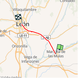
Compostelle 53 - Mansilla de las Mulas -> León

uru2010
User

Length
19.8 km

Max alt
902 m

Uphill gradient
208 m
Km-Effort
22 km

Min alt
790 m

Downhill gradient
164 m
Boucle
No
Creation date :
2018-04-17 12:29:50.961
Updated on :
2018-04-17 12:29:50.961
3h58
Difficulty : Easy

FREE GPS app for hiking
 SityTrail
IGN / Geographical institutes
SityTrail Plus
The world is yours!
About
Trail Walking of 19.8 km to be discovered at Castile and León, Unknown, Mansilla de las Mulas. This trail is proposed by uru2010.
Description
Chemin de Saint-Jacques de Compostelle
Mansilla de las Mulas -> León
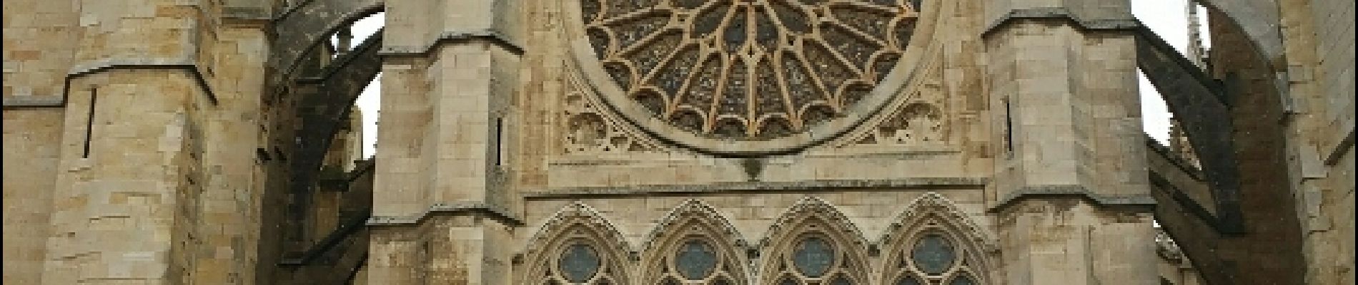
Photos


Positioning
Country:
Spain
Region :
Castile and León
Department/Province :
Unknown
Municipality :
Mansilla de las Mulas
Location:
Unknown
Start:(Dec)
Start:(UTM)
301304 ; 4708007 (30T) N.
Comments